
Adventure travel · Carretera Austral · Los Lagos, Chile
The northernmost stretch of Chile’s Carretera Austral enters one of the largest surviving old-growth temperate rainforests on Earth. A wilderness guide to the bimodal route between Hornopirén and Chaitén, including Pumalín Douglas Tompkins National Park.
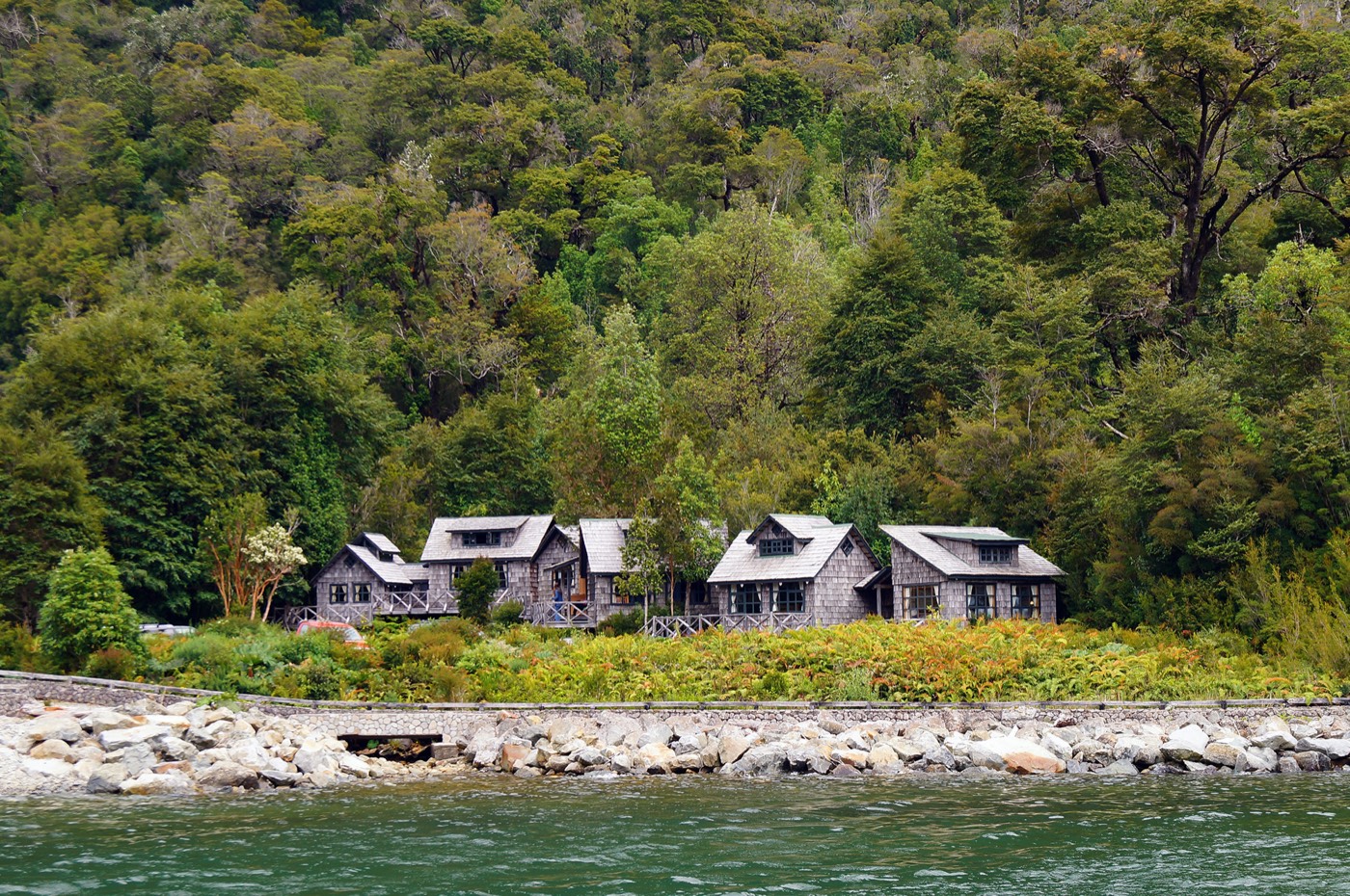
The northernmost stretch of Chile’s Carretera Austral is a short, intense entry into one of the largest surviving expanses of old-growth temperate rainforest on Earth. Known as Patagonia Verde, it spans the municipalities of Cochamó, Hualaihué, Chaitén, Futaleufú and Palena within the Región de Los Lagos. Hornopirén marks its northern gate; the town of Chaitén closes the section before the road continues south towards Aysén.
This is not a road you simply drive. The corridor weaves through fjords, volcanoes and the foothills of the Andes, so every journey blends land segments on Route 7 with short ferry crossings. The full sequence reads like an expedition log: Puerto Montt → Caleta La Arena → Caleta Puelche → Hornopirén → Leptepu → Fiordo Largo → Caleta Gonzalo → Chaitén. Treat it as a sequence rather than a single transfer, and the slow pace becomes the point.
The bimodal route: getting there
From Puerto Montt, the first ferry links Caleta La Arena and Caleta Puelche in roughly 45 minutes across the Estuary of Reloncaví. No reservation is needed — vehicles line up at the ramp and pay onboard. After disembarking, a 60 km road leads to Hornopirén, 110 km south of Puerto Montt.
From Hornopirén a longer ferry runs south to Caleta Gonzalo, the gateway to Pumalín and the start of the southern Carretera Austral. The journey combines two sails with a 10 km land shuttle between Leptepu and Fiordo Largo: Hornopirén → Leptepu (around 4 hours down the Comau Fjord), a short drive, then Fiordo Largo → Caleta Gonzalo (45 minutes across the Reñihue Fjord). A single ticket covers both sails; vehicles must check in at the ramp two hours before departure (one hour for foot passengers). During high season (September to April), the subsidized Naviera Somarco service (barcazas.cl) runs two daily departures from Hornopirén (10:00 and 18:00) and two return sailings from Caleta Gonzalo (12:30 and 20:00), with 2026 non-resident fares of CLP $72,650 per standard car or pickup (driver included), CLP $12,100 per additional passenger or foot passenger, CLP $18,200 per motorcycle and CLP $8,050 per bicycle with rider. Additional commercial sailings operate in January and February (CLP $81,900–$103,950 per vehicle plus CLP $15,750–$19,950 per passenger); in peak summer, booking online two to four weeks ahead is essential.
From Caleta Gonzalo, roughly 60 km of road lead to the town of Chaitén, where the northern section ends and connections open towards La Junta, Puyuhuapi and the Aysén region.
Pumalín Douglas Tompkins National Park
Caleta Gonzalo is the threshold of Pumalín Douglas Tompkins National Park, a 402,392 ha protected area created on 28 February 2018 from a 293,338 ha donation by Tompkins Conservation to the Chilean State. It spans the municipalities of Cochamó, Hualaihué, Chaitén and Palena, and sits within the Biosphere Reserve of the Temperate Rainforests of the Southern Andes (UNESCO, 2007).
For international visitors arriving with expectations shaped by Patagonia’s iconic granite spires, Pumalín offers something different: an ancient temperate rainforest of cathedral-scale proportions. Giant alerce trees (Fitzroya cupressoides, a natural monument of Chile), Guaitecas cypress, ulmo, canelo and Magellanic coigüe form a dense, moss-draped canopy. Wildlife includes the huemul (South Andean deer, endangered), pudú (the world’s smallest deer), puma, the marsupial monito del monte, river otters (huillín) and the Andean condor.
CONAF administers the park from the El Amarillo office in the southern sector (open Monday to Sunday, 08:30–13:00 and 14:00–17:30). Trail entry is permitted only until 14:00, so plan to start early.
Trails and wilderness experiences
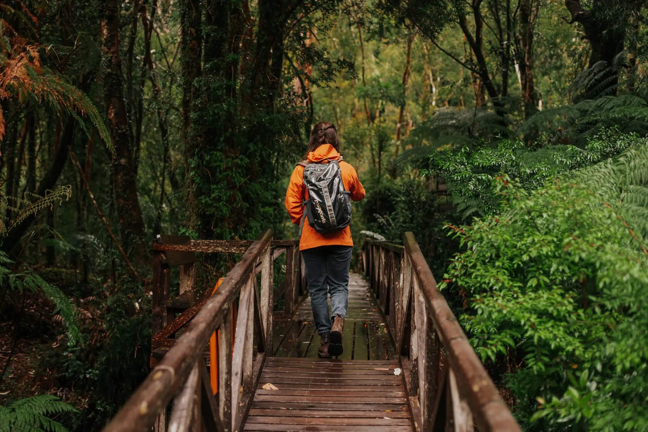
Pumalín offers eleven trails — eight in the northern sector (Caleta Gonzalo) and three in the south (El Amarillo) — ranging from 30-minute strolls to ten-hour treks. Highlights include:
- Sendero Los Alerces: a stand of ancient alerce trees, one of the longest-living tree species on Earth.
- Sendero del Volcán Chaitén: a 4.4 km round-trip climb to the crater rim across terrain reshaped by the 2008 eruption, with views of active fumaroles (open year-round, with last entry at 14:00 and strict requirement to stay on the marked trail).
- Sendero El Ventisquero: a viewpoint over a hanging glacier.
- Sendero Ranita de Darwin: a short, family-friendly walk named after the endemic Darwin’s frog.
- Sendero Cascadas Escondidas: glacier-fed waterfalls inside the Valdivian rainforest (subject to seasonal maintenance closures; check status at the ranger station).
Park and trail entry are free of charge. During the austral summer (from mid-December), CONAF operates first-come, first-served campsites (no online booking) at Caleta Gonzalo (río Caleta Gonzalo, El Volcán, Cascada Escondida, Lago Blanco and Lago Negro) and at El Amarillo (Camping Grande and Ventisquero), with an official 2026 fee of CLP $6,000 per person per night (privately concessioned services at Caleta Gonzalo apply their own rates).
Planning your trip within a larger Patagonia journey
- Where it fits: the northern Carretera Austral works as a 4–7 day segment linking the Lake District (Puerto Montt / Puerto Varas) to central Patagonia (Aysén / Coyhaique). Allow buffer days — ferries, road conditions and weather can shift your timeline.
- Season: October to March brings longer daylight and better road conditions. Rain is possible year-round; that is what feeds the rainforest.
- Booking: the second ferry sells out fast in January–February. Reserve early.
- Pack for wilderness: layered clothing, full rain gear, water-resistant footwear, reusable bottle, offline maps (there is no mobile signal or electricity inside the park).
- Fuel and comms: petrol stations and mobile coverage are available in Hornopirén and Chaitén, not inside the park.
- Safety: always register your entry with CONAF rangers and follow their guidance.
The northern Carretera Austral rewards slow travel: ferries, primary forest, volcanoes and the small communities of Patagonia Verde stitched together by Route 7. To extend your route south along the Carretera Austral or connect with Chiloé and Aysén, plan with the official resources at loslagos.travel.